Geospatial Gallery
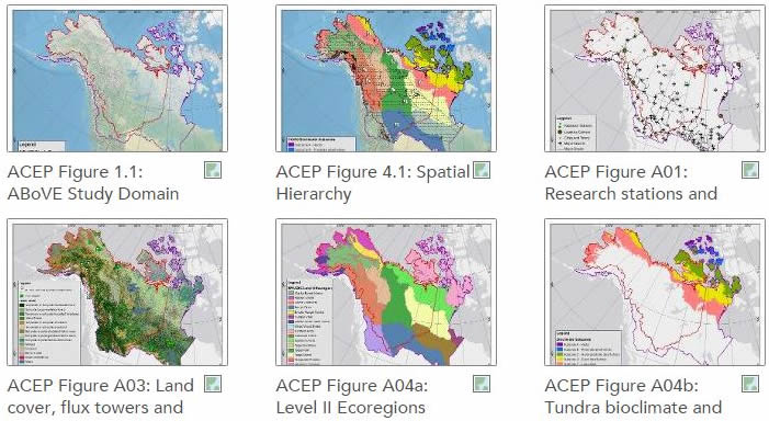
Web maps developed for the ABoVE Concise Experiment Plan (ACEP) can be viewed through an interactive web mapping platform, provided through ArcGIS Online. The different datasets used to create the web maps are available as web services and can be accessed through the ABoVE Groups page. Clicking on the image below will take you to the Geospatial Gallery for ABoVE and allow you to view the interactive maps.
Please contact us with questions or comments.


